



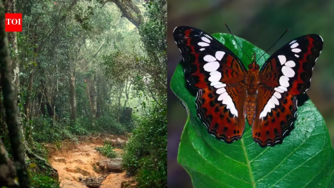
From thousands of miles above the ground, Mount Lico looked like little more than a strange green patch hidden inside northern Mozambique. But to ecologist and conservation scientist Julian Bayliss, that patch represented something far more intriguing: a rainforest sealed inside the crater of a remote mountain, apparently untouched by modern exploration, states an online report by BBC Earth. The discovery began on a computer screen in 2012. Six years later, Bayliss and a team of scientists, naturalists and researchers would make the difficult climb into the isolated forest, uncovering species and clues that had remained hidden from the outside world.
A forest hidden in plain sight
According to BBC Earth, Bayliss has spent years using satellite imagery and remote-sensing technology to locate environments that are difficult or impossible to reach on foot. His work has included the discovery of other isolated rainforests in southern Africa, including Mount Mabu. Mount Lico immediately stood out. The mountain rises dramatically from the surrounding landscape, with crater walls reaching roughly 700 metres in places. Deep inside its basin was a dense area of dark green forest that appeared remarkably undisturbed. The satellite images showed where the forest was. They could not reveal what lived there.By 2017, Bayliss had assembled a team and traveled to Mozambique to investigate. Local communities living around Mount Lico had no known record of anyone reaching the summit or entering the crater. Using satellite imagery, the team mapped a route through roads and dirt tracks before driving to within about six kilometres of the mountain. From there, the journey continued on foot, states the BBC Earth report.
A first glimpse from above
The crater walls made a conventional survey impossible, so the team turned to a drone. Bayliss flew the aircraft over the edge of the crater, but it quickly disappeared from view and lost its connection. The possibility of losing the drone was compounded by the realization that the team could also lose its only practical way of seeing inside the inaccessible basin, adds the report. A second flight produced the first close images of the hidden forest. The photographs revealed vines, dense vegetation and birds moving through a landscape that had previously been visible only as a patch of green on satellite imagery. The images gave the team enough information to plan the ascent.
A difficult climb into an unknown ecosystem
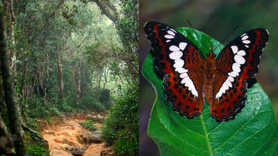
Reaching the forest proved to be as challenging as expected. The team had to scale steep sections of the mountain using specialist climbing equipment, eventually making their way into the isolated rainforest, explains the BBC Earth report.Once inside, they found evidence of a thriving ecosystem. Animal tracks crossed the forest floor, while butterflies and birds moved through the vegetation. The expedition also produced several scientific discoveries. Among the most notable was a previously unknown butterfly species, which Bayliss intends to name after Mount Lico. Researchers also identified an unfamiliar amphibian, a freshwater crab and several small mammals and reptiles that had not previously been recorded there. The findings added to growing evidence that significant numbers of Earth’s species remain undocumented. Scientists estimate that a large proportion of the planet’s biodiversity has yet to be formally classified.
A mystery beside the stream
The team encountered another unexpected clue near the source of a stream. Several overturned pots were found at the site, suggesting that someone had reached the remote location before the expedition. The objects may have been connected to a spiritual offering intended to protect the water flowing down toward communities below. How the pots got there remains an intriguing question. The sheer crater walls had required specialist climbing equipment and considerable effort for the scientific team to overcome.
Technology can reveal, but not explain
Mount Lico offers an unusual lesson about modern exploration. Satellite imagery can reveal places that were once invisible to outsiders, while drones can provide a first look at landscapes too dangerous or inaccessible to reach directly. But technology does not eliminate the unknown. A satellite image can show a forest, a mountain or an island. It cannot necessarily reveal what lives there, how an ecosystem functions or what might have happened there centuries earlier.That distinction is what made Mount Lico so remarkable. The rainforest had been visible from space for years, yet its secrets remained hidden until people physically climbed into it. For Bayliss and his team, the expedition was a reminder that the planet still contains places capable of surprising even in an age of satellites, drones and digital maps. Somewhere beneath those images, there may still be another green patch waiting to become an unexplored world.Representational Images Courtesy: istock